AirSide - Airport Status Indication System
AirSide is a current project at the Munich Airport.
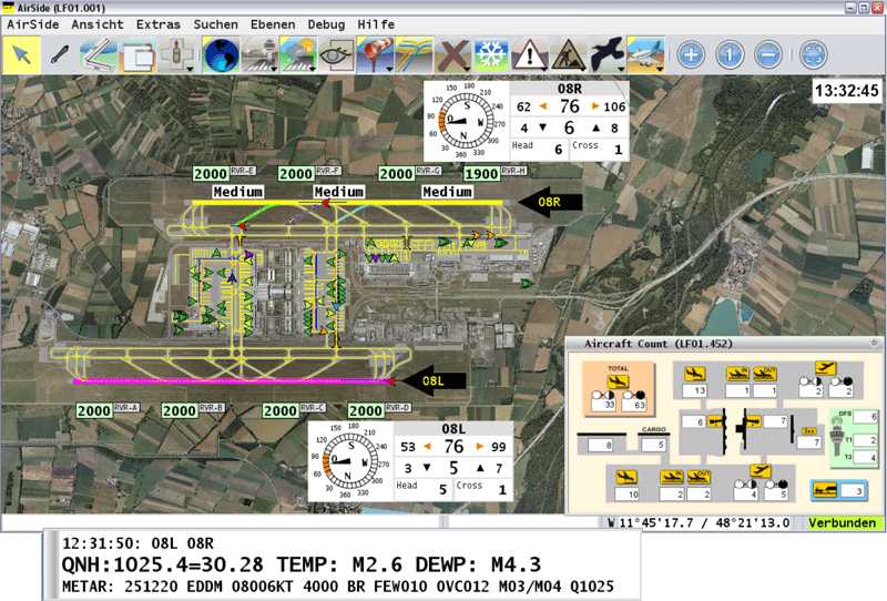
I started designing the predecessor of AirSide in 2010. It started as a little Map for GH (Ground Handling). We got the chance to evolve it into a information system for Apron Control. It contains many layers with a vast variety of different data, e.g.
- aircraft location
- weather information
- runway condition
- bird control
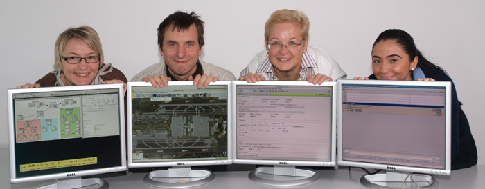
AirSide became a big project. And we got a great team to enhance it further:

Graphical Information as it turned out, was the impressive way to tell what is going on at the Airport.
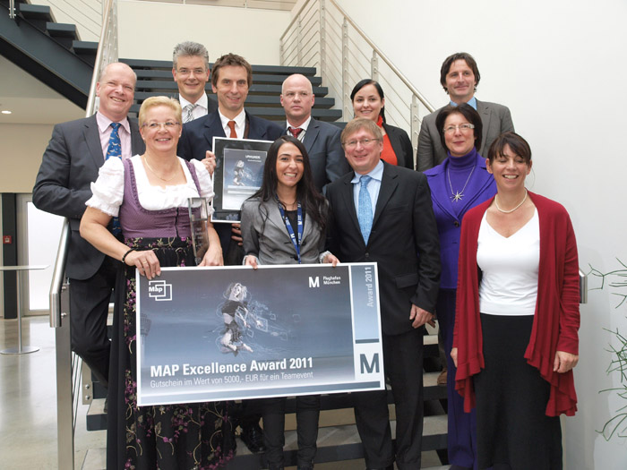
We eventually took our chances with the Map Award, a excellency recognition program at the Airport. See the Video we made for it: MapAward contestant AirSide.
And the best thing is, we won against 7 other projects.


 Click to enlarge